Lanzarote History
The history of Lanzarote from the original Majos people through Spanish conquest, volcanic eruptions and Cesar Manrique's lasting influence.
Lanzarote’s story is far richer than you might expect from a small island. Over the centuries, it has seen volcanic eruptions shape its landscape, welcomed Berber settlers and Norman adventurers, and endured visits from Barbary pirates.
For a long time, Lanzarote was quite isolated, but in recent years it has quietly transformed into one of Europe’s most unique holiday destinations. It is remarkable how much history and character you find within these 845 square kilometres.
How Lanzarote was formed
Lanzarote’s story began millions of years ago, when volcanic forces lifted it from the Atlantic depths, just like the rest of the Canary Islands. Our island sits about 125 kilometres off the northwest coast of Africa, and you can feel that influence everywhere—from the warm breezes to the unique blend of cultures and even the island’s role in history. That location has shaped so much of what makes Lanzarote special today.
The Lanzarote we know and love today is very different from the island that first welcomed settlers. Over the centuries, volcanic eruptions, especially those in the 18th century, have transformed the landscape again and again. What many now describe as a moonscape was, not so long ago, rich farmland, and you can still sense that history beneath your feet as you explore.
The Majos Were The First Inhabitants of Lanzarote
The very first people to call Lanzarote home were the Majos, part of the Guanche family, and the original inhabitants of the Canary Islands. Most believe they made their way here from North Africa, perhaps as far back as 1000 BC, though some say it could have been even earlier. How they managed the journey remains a bit of a mystery. Their boats were not suited for such a crossing, so some think they may have come with ancient traders, or perhaps arrived when the sea was not quite as we know it today.
What we do know for certain is that when the first Europeans set foot on Lanzarote in the 14th century, the Majos were already settled here. They made their homes in the central highlands, around the area we now call Teguise. Life was simple and close to nature: they kept goats, fished the surrounding waters, and grew what crops they could. The Majos had their own language and traditions, and they honoured the sun and moon as part of their beliefs. They were a peaceful people, which sadly left them vulnerable when outsiders arrived.
Even the Romans had heard whispers of the Canary Islands. Pliny the Elder wrote about a journey to what he called the Fortunate Isles in his great encyclopedia. Back then, Lanzarote did not yet have its name. That would come later, thanks to a Genoese sailor who left his mark on our island’s story.
Lancelotto Malocello and Lanzarote
Back in 1312, a Genoese navigator by the name of Lancelotto Malocello arrived on our shores and spent quite some time here. Most people agree that the island was named after him, or at least that he inspired the name. A few decades later, in 1339, the Majorcan cartographer Angelino Dulcert created the first known map of the Canary Islands and marked one of them as Insula de Lanzarotus Marocelus.
Over the years, that name gradually became Lanzarote. Long before that, the island was known to its native inhabitants as Tyterogaka, which translates to something like 'one that is all ochre.' If you have ever watched the island glow in the evening light, you will know just how fitting that name is.
Pirates and Slavery in Lanzarote
Lanzarote’s days after the conquest until the 1700s held little comfort. Sitting near Africa meant trouble often arrived by sea. Raiders from North Africa came again and again during the 1500s and 1600s. Their motive? Not revenge - just profit. One year, 1585, a man named Murat Reis seized every inch of land on the island. Later, in 1618, more pirates swept through, dragging nearly one thousand souls off Lanzarote and La Gomera. Those taken vanished into slave markets across the water. Fewer people remained each season.
Back then, it wasn’t just the Barbary pirates causing trouble. English privateers got involved too, taking their share. Stopping by in 1616, Sir Walter Raleigh made his move. Earlier on, John Hawkins - a sea captain under Elizabeth - had already caused plenty of harm. Hidden beneath the northern edge of the island, the Cueva de los Verdes once sheltered the Guanches when raiders came near. Through winding passages they crept, waiting out threats in silence deep inside rock. Now visitors follow that same path below ground, moving through dim light and cool air on guided routes. Instead of fear, there’s quiet awe - feet shuffle slowly where urgency once ruled. The stone stays unchanged, even if what happens within it does not.
Just a small number of Majo individuals survived by the 1650s, scattered across the island. Europeans arrived and, over two hundred years, erased the native way of life on Lanzarote.
Lanzarote. The Eruptions
If you want to understand why Lanzarote looks the way it does, this is where you start. On the night of 1 September 1730, the ground split open near Timanfaya in the southwest of the island. The parish priest of the nearby village of Yaiza, Andrés Lorenzo Curbelo, was there and kept a written account of what happened. His diary is still the most vivid record of the events.
He wrote: "On the first day of September, 1730, between nine and ten o'clock at night, the earth suddenly opened near Timanfaya, two leagues from Yaiza. An enormous mountain rose from the bosom of the earth, and flames escaped from its apex, which continued to burn for nineteen days."
What followed was one of the longest and most destructive volcanic eruptions in recorded history. For six years, from September 1730 to April 1736, the volcanoes did not stop. More than 30 new volcanic cones were created. The lava flows covered around 200 square kilometres, which was roughly a quarter of the entire island. Villages were buried. The most fertile farmland on Lanzarote, a rich zone of vineyards, cereals and cattle pasture in the southwest, was obliterated. At least eleven villages were destroyed completely, including Timanfaya, Rodeo, Maretas and Santa Catalina. The lava reached the sea on the western coast in a broad 20-kilometre front.
The eruptions continued through 1731 and into 1732, with periods of intense activity and brief pauses. In October 1730, Father Curbelo recorded three new openings forming, smoke covering the whole island, ash raining down and the people of Yaiza fleeing repeatedly. On Christmas Day 1731, the whole island shook with tremors more violent than anything that had come before. Dead fish washed up on the shores in their thousands. No one on the island had seen anything like it, and no one was in a position to predict when it would end.
It ended in April 1736. The silence, when it came, must have been extraordinary.
A smaller series of eruptions followed in 1824, lasting three months and adding three more volcanic cones. These were modest compared to what had come before, but they reinforced the point that Lanzarote sits on active geology. The ground temperature just below the surface at Timanfaya remains high enough today that you can demonstrate it to tourists with a bundle of dry straw and a small hole. The park does this every day.
The area created by the eruptions is now Timanfaya National Park, declared in 1974 and one of the most visited attractions on the island.
Lanzarote Life After The Eruptions
The eruptions forced mass emigration. Many islanders left for Cuba and the Americas and never came back. Those who remained had to completely reinvent how they farmed.
The volcanic lapilli, the small black porous rock that covers much of the island, turned out to have a remarkable property. By night it absorbs moisture from the air. If you plant in the lapilli, you need to water far less than you would in ordinary soil. Lanzarote's farmers worked out a system of digging small crescent-shaped pits into the lapilli, planting vines or fig trees inside and building low crescent-shaped stone walls on the windward side to protect them. You can see this technique across the La Geria valley today. It looks strange from a distance, individual vines each sitting alone in their volcanic hollow, but it works. Lanzarote wine, particularly the malvasía white, is a direct result of the 1730 eruptions.
Farmers used camels rather than tractors to work the lapilli fields until well into the 20th century, because tractor wheels would compact the rock and break its moisture-retaining properties.
Arrecife gradually replaced Teguise as the island's main settlement and was formally named capital in 1852. The island stayed relatively quiet through the 19th century and the first half of the 20th, surviving on fishing, farming, a small salt industry and the export of onions and cochineal dye. Under Franco's dictatorship from 1936 to 1975, the Canary Islands kept a low profile.
Cesar Manrique And The Lanzarote We Know And Love Today
In 1966, an Arrecife-born artist called César Manrique came back to his home island after two years in New York and a period in Madrid. He came back with a clear idea of what he wanted to do, and the connections to make it happen.
Manrique was not a planner or a politician. He was an artist and sculptor who had a passionate, almost obsessive commitment to the idea that Lanzarote's volcanic landscape was something rare and worth protecting. He believed that architecture should work with a place, not against it, and that tourism could be developed in a way that preserved what made the island worth visiting in the first place. He also had a close friendship with José Ramírez, then president of the island council, which gave him real influence.
Over the following decades Manrique shaped almost everything about how modern Lanzarote looks. He created the Jameos del Agua, turning a volcanic lava tube cave into a cultural centre with an underground lagoon, an auditorium and a garden. He designed the Mirador del Río, a viewpoint in the north of the island built into the cliff face with barely a visible seam between the building and the rock. He created the Lanzarote Cactus Garden near Guatiza, the Timanfaya visitor experience, his own volcanic house at Tahiche, now the César Manrique Foundation, and numerous other projects across the island. He fought campaigns against billboard advertising, against high-rise construction, and against the kind of rapid mass development that had already covered much of the Spanish coast in concrete. He largely won.
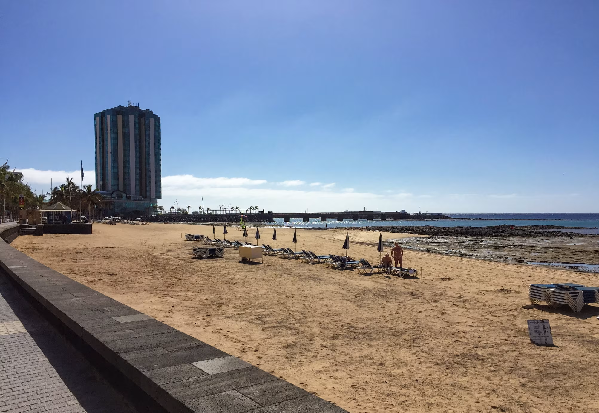
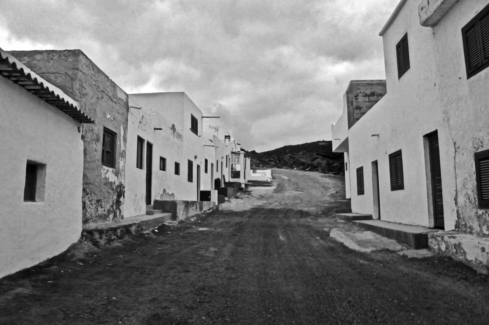
The building regulations that resulted from his influence meant that houses across Lanzarote had to be painted white. Window frames and shutters were permitted in dark green only. No billboards. No high-rise buildings. The one exception to the last rule, the Arrecife Gran Hotel, exists because it was built while Manrique was otherwise occupied and was never torn down, which annoyed him considerably.
Manrique died in September 1992, killed in a car accident near his home at Tahiche. He was 73. The island he left behind was unlike any other package holiday destination in Europe, and remains so.
Tourism arrived seriously in the 1960s and has never stopped growing. The island recorded over 8 million visitors in 2024. Puerto del Carmen, Costa Teguise and Playa Blanca now exist almost entirely to serve the holiday industry, and the airport just outside Arrecife is one of the busiest in Spain.
UNESCO designated Lanzarote a Biosphere Reserve in 1993, in recognition of both its volcanic geology and its approach to managing development. The building regulations remain largely in place. The lapilli vineyards are still worked. The camels are now a tourist attraction rather than farm equipment.
The island covers 846 square kilometres and has around 163,000 permanent residents. It is the fourth largest Canary Island and the one closest to Africa. From the right beach on a clear day you can see the outline of the Saharan coast 125 kilometres away.