
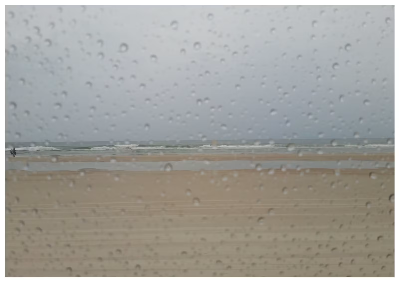

Storm Bruna in Lanzarote: Rain, Wind and Weather Warnings Across the Canary Islands
Anyone expecting a typically bright and settled November Sunday in the Canary Islands may need to rethink their plans. Storm Bruna is moving across the archipelago, bringing a spell of unsettled weather that includes heavy showers, thunderstorms, strong gusts and rough seas.
The impact is not the same on every island. The western islands and Gran Canaria are facing the most significant rainfall warnings, while Lanzarote and Fuerteventura are also being advised to prepare for showers and possible thunderstorms as the weather system moves east.
What is happening in Lanzarote?
For Lanzarote, Sunday 8 November is expected to become increasingly cloudy, with showers that could be locally heavy and may be accompanied by thunderstorms or hail, particularly later in the day. The forecast for Arrecife gives temperatures broadly in the low to upper twenties Celsius, although conditions can vary around the island.
This is not necessarily a day of continuous rain everywhere. Lanzarote’s weather can change noticeably between resorts and inland areas, and a brief bright spell does not mean the risk has passed. Residents and visitors in Puerto del Carmen, Playa Blanca, Costa Teguise and surrounding areas should keep checking the latest local forecast before making plans.
Lanzarote and Fuerteventura are under yellow-level AEMET warnings for rain and thunderstorms in the Sunday forecast. The Canary Islands Government has also placed the eastern islands under pre-alert for rain. These are different systems of warnings, so it is worth checking both the national meteorological service and local authority updates.
The wider picture across the Canary Islands
Tenerife is among the islands facing the most serious rainfall risk, with an orange AEMET warning covering areas of the island. Gran Canaria is also expected to see a period of heavier rain, with an orange warning scheduled for parts of the island later in the day. The western islands have also experienced strong winds and intense rainfall.
AEMET’s outlook issued on Saturday warned that the wider system could bring persistent, locally very heavy showers, thunderstorms and strong winds. It highlighted the possibility of local flooding and rapid rises in water levels. On the higher ground of La Palma and Tenerife, wind gusts have already exceeded 100 kilometres per hour at some weather stations.
These island-wide figures should not be mistaken for conditions in every resort. Mountain areas, exposed coastlines and sheltered tourist areas can experience very different weather at the same time.
Rough seas and coastal safety
The storm is also affecting sea conditions. The Canary Islands Government updated its coastal situation on Sunday morning, moving to a pre-alert for coastal phenomena in Tenerife and exposed northern and western shorelines elsewhere in the archipelago. Northerly and north-westerly swell of around three to four metres was forecast for those exposed coasts.
Anyone visiting the seafront should take extra care. Avoid walking onto breakwaters, harbour walls, rocks or promenades where waves are breaking over the edge. Keep children well back from the water and follow beach flag systems and instructions from lifeguards. A calm-looking stretch of beach can still be affected by occasional larger waves.
Practical advice for tourists in Lanzarote
If you are on holiday in Lanzarote, there is no need to panic, but it makes sense to be flexible. Check the forecast for your particular resort rather than relying on a general Canary Islands forecast. Before driving, look out for standing water, reduced visibility and sudden gusts, especially on exposed roads.
It may be a good day to swap a boat trip, coastal walk or beach visit for a more sheltered activity. If you are staying in a villa or apartment, secure lightweight outdoor furniture and other items that could be blown around. Do not attempt to drive or walk through floodwater, and avoid barrancos and low-lying areas during intense rainfall.
For residents, keep an eye on official notices from the Cabildo de Lanzarote, local councils, AEMET and the Canary Islands emergency services. Follow any road closures or activity restrictions rather than relying on older social media posts.
Will the weather improve?
Forecasts suggest conditions may ease in some areas on Monday and into Tuesday, but the wider unsettled pattern is not necessarily over. AEMET’s outlook also points to another possible increase in rain across parts of the Canary Islands around Wednesday. The exact timing and amounts remain uncertain, so forecasts and warnings may change.
The best advice is to check updates regularly, especially if you have travel plans, excursions or outdoor activities booked.
Lanzarote is known for its mild climate and many sunny days, including during November, but Atlantic weather systems can occasionally bring a very different picture. Storm Bruna is a reminder that the Canary Islands’ weather can vary significantly from one island to another and from the coast to the mountains.
For the latest Lanzarote weather, keep checking official AEMET forecasts and local emergency announcements before heading out. A little flexibility and sensible precautions can make all the difference when the weather turns.