
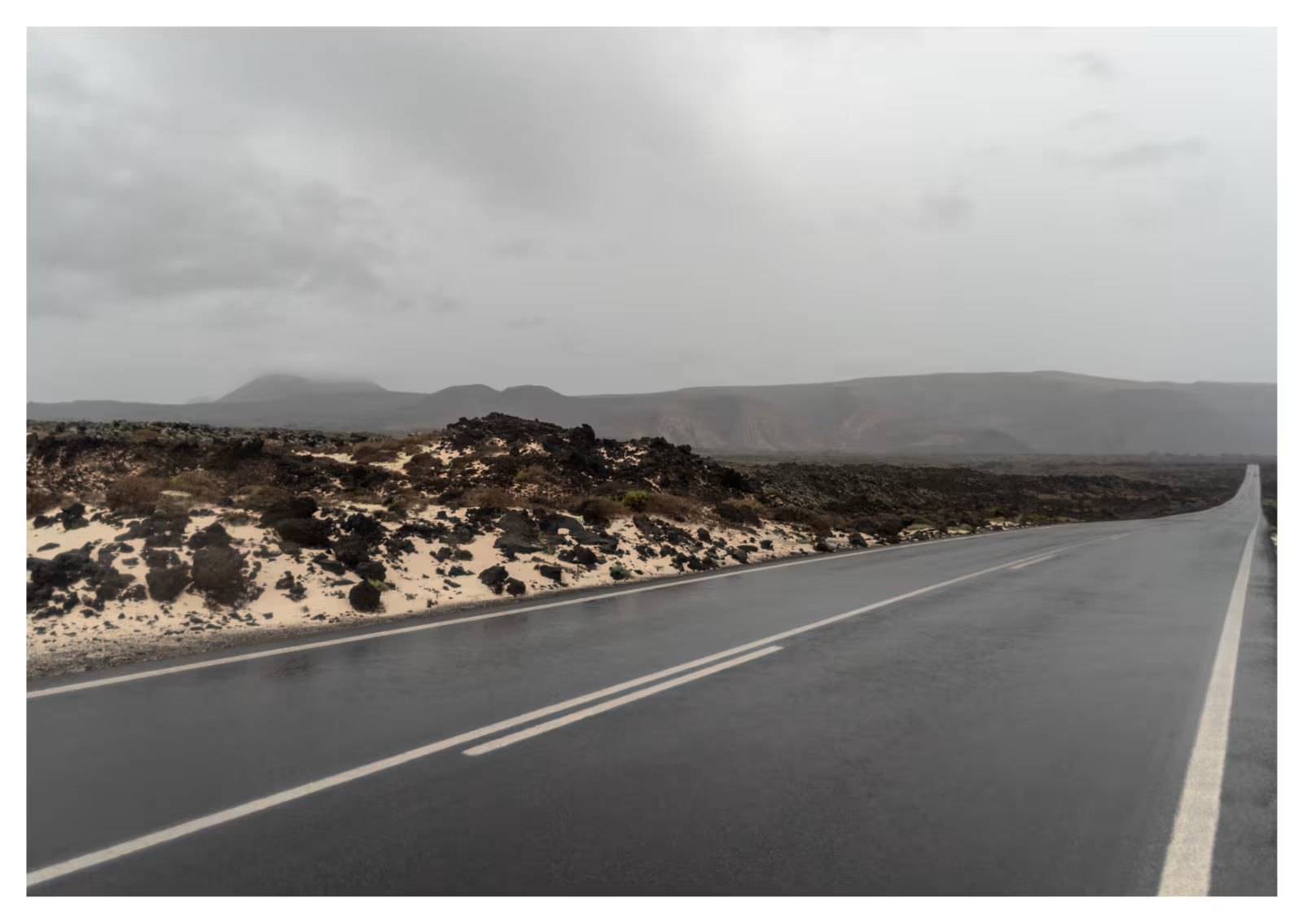
Storm Bruna: Lanzarote placed on weather pre-alert as heavy rain and rough seas approach the Canary Islands
Nolita James|
Share
Sponsored
Storm Bruna: Lanzarote placed on weather pre-alert as heavy rain and rough seas approach the Canary Islands
Residents and visitors in Lanzarote are being urged to keep an eye on the weather this weekend after the Canary Islands Government issued a series of warnings linked to Storm Bruna.
The high-impact weather system is expected to move across the Canary Islands from west to east, bringing unsettled conditions, with the potential for intense showers, thunderstorms, strong gusts and hazardous sea conditions. Lanzarote and La Graciosa are included in the pre-alert areas, while some other islands face higher levels of warning for particular weather risks.
What does the pre-alert mean for Lanzarote?
The regional authorities have declared a pre-alert for storms across the Canary Islands and a pre-alert for possible flooding throughout the archipelago. These measures are due to take effect from 9pm on Saturday, 7 November. Lanzarote is also among the eastern islands placed on pre-alert for rainfall, rather than the higher rainfall alert applied to several western islands and Gran Canaria.
A pre-alert is a signal to stay informed and take sensible precautions. It does not mean that severe conditions will affect every location, or that disruption is inevitable. Weather can vary considerably across Lanzarote, so residents and holidaymakers should follow updated local forecasts and official instructions.
When is Storm Bruna expected to affect Lanzarote?
The storm system is forecast to reach the western Canary Islands first, with the unsettled weather then moving eastwards. The main period of concern for Lanzarote is Sunday, 8 November, although showers and changing conditions may develop around the wider period.
AEMET has warned that some parts of the Canary Islands could see heavy or very heavy downpours, locally persistent rain and thunderstorms. The most severe rainfall totals and strongest gusts in the regional forecast are not specific to Lanzarote and are expected to be concentrated in more exposed areas and the mountainous islands. Conditions can change, so it is important not to rely on a single forecast issued earlier in the weekend.
Rough seas and coastal safety
The weather system is also expected to worsen sea conditions. Authorities have warned of rough seas and powerful swell, with waves potentially reaching around three to four metres in exposed northern and western coastal areas as the episode develops.
This is particularly important for anyone visiting the coast. Large waves can sweep over sea walls, promenades, rocks and harbour edges with little warning. Even if the sea looks manageable from a distance, conditions can change quickly.
People are being advised to:
- Keep away from sea walls, harbour edges, rocks and exposed coastal walkways during rough conditions.
- Avoid swimming, water sports and boating when conditions are unsafe, and follow beach flags and lifeguard instructions.
- Never turn your back on the sea to take photographs or watch large waves.
- Take extra care on coastal roads and promenades exposed to spray or overtopping waves.
Flooding risks and driving in Lanzarote
The authorities have also highlighted the possibility of localised flooding in urban areas and sudden rises in water flowing through ravines and smaller channels. Heavy rain can run off quickly in Lanzarote's dry landscape, particularly where drainage is limited.
Motorists should reduce speed in heavy rain, leave extra stopping distance and avoid driving through water covering a road. Do not attempt to cross a flooded road or a water-filled ravine, even if the water appears shallow. If visibility becomes poor, find a safe place to stop rather than continuing into hazardous conditions.
Residents should also secure loose items on balconies and terraces, check drains where practical and avoid unnecessary journeys during the heaviest showers.
Will the weather improve after Sunday?
The authorities have indicated that unsettled weather may continue beyond the initial passage of Storm Bruna, with further instability possible during the following week. Forecasts may be updated as the system develops, so visitors should check the latest AEMET information before planning excursions, boat trips or beach days.
What should tourists in Lanzarote do?
A weather pre-alert is a precautionary measure, and conditions may differ from one part of the island to another. However, it is sensible to be flexible with outdoor plans, check with excursion and boat-trip operators before travelling, and avoid exposed coastal locations if the sea becomes rough.
For emergency assistance in Spain, call 112. For current information, follow the Canary Islands Government's emergency announcements, the Lanzarote Safety and Emergencies Consortium and AEMET's official forecasts and weather warnings.
The key message for Lanzarote this weekend is simple: stay informed, take care near the coast, and do not underestimate heavy rain or fast-moving water. We will continue to follow updates affecting Lanzarote and La Graciosa as Storm Bruna moves across the Canary Islands.
We may use cookies to enhance your browsing experience and analyse website traffic. By clicking "Accept All", you consent to our use of cookies (all of which are anonymous).
Coming Soon
We are building our Lanzarote Waits for You Community - it's being developed all the time. Please come back soon to find out more about this exciting new feature.
Get in Touch
Thank You!
Your message has been sent successfully. We will get back to you soon.
Be a part of Lanzarote's Fastest Growing Online Community
Create your free forum account. First, a few details.
Terms & preferences
Please read and accept our terms before continuing.
Subscribe to our newsletter
Be the first to know what's happening on the island. Here's what lands in your inbox:
Lanzarote News
The best things to see and do in Lanzarote
Weather updates
Exclusive discounts
Add a profile photo
Optional — you can always add one later.
Drag & drop a profile photo, or browse
PNG or JPG, up to 8MB
Check your email
We've sent a 6 digit code to . Can't see it? Check your spam or junk folder.