

Storm Charles approaches the Canary Islands: what Lanzarote residents and visitors need to know
After the passage of Storm Bruna, attention is turning to a new Atlantic system named Charles, which is forecast to bring another spell of unsettled weather to the Canary Islands during the middle of the week.
AEMET announced on 9 November that Charles is expected to bring a period of adverse weather, with rain, strong winds and rough seas most likely on Wednesday 11 November and, to a lesser extent, Thursday. The strongest impacts are expected in parts of the western islands, and the precise distribution of the weather will depend on the system’s track and development.
Lanzarote is also included in the forecast picture. Information published on Monday indicated yellow-level warnings for wind across the island on Wednesday, with gusts potentially reaching around 70 kilometres per hour. A separate coastal warning was forecast from around midday, with strong south-westerly winds and rougher sea conditions possible.
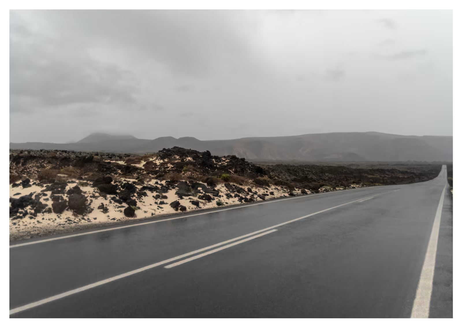
These forecasts should be treated as a developing situation, not a guarantee that every part of Lanzarote will experience the same conditions. Exposed coastal areas, elevated locations and open roads can be more affected by gusts than sheltered streets and resorts. Sea conditions can also become dangerous even when the weather on land looks manageable.
Visitors should check with boat-trip operators before travelling to ports, avoid walking close to wave-battered seawalls and cliffs, and secure loose items on balconies and terraces if strong winds are forecast. Drivers should take extra care on exposed routes, particularly when passing high-sided vehicles or areas with crosswinds.
Follow AEMET and the Canary Islands emergency services for the latest warnings, as timings and expected impacts can change with each update. Do not rely on early rainfall totals or dramatic forecasts for other islands as a precise prediction for Lanzarote.