
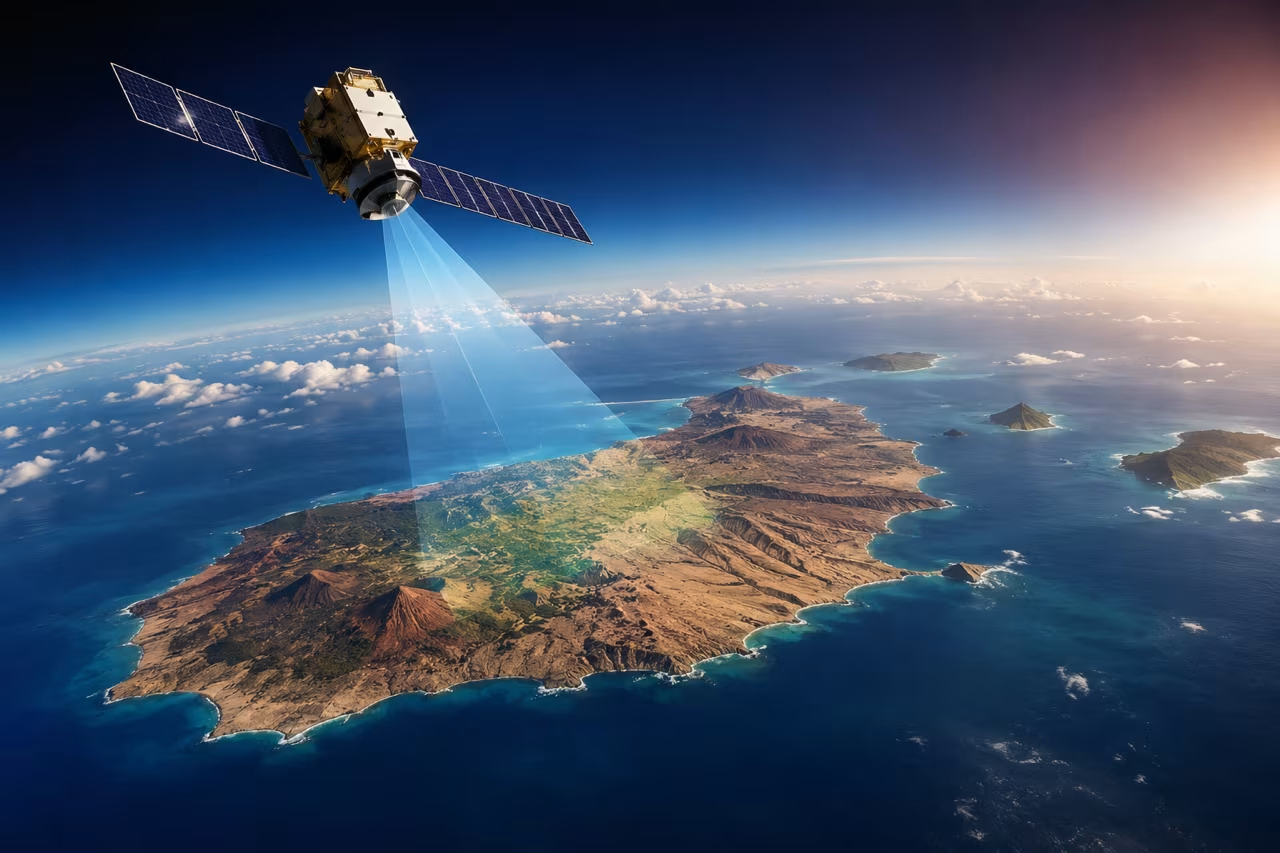

Canary Islands Satellite Constellation Set to Strengthen Wildfire Detection and Environmental Monitoring
The Canary Islands are preparing to embrace cutting-edge space technology that could transform how wildfires are detected and monitored across the archipelago. A new Canary Islands satellite constellation is being developed to provide faster, more detailed Earth observation data, helping emergency services respond more effectively while improving environmental monitoring.
For residents and visitors to Lanzarote, the project highlights how science and technology are being used to protect the islands’ unique landscapes and natural heritage.
How will the satellites help fight wildfires?
The new network of satellites is designed to provide frequent observations of the Canary Islands from space. One of its key aims is to improve wildfire prevention and emergency response by collecting valuable environmental data.
The system is expected to:
- Measure soil moisture levels.
- Monitor the health and condition of vegetation.
- Identify areas most vulnerable to wildfire.
- Track the spread and development of fires in near real time.
- Provide emergency services with faster information to support decision-making during an active incident.
Rather than replacing firefighters or existing monitoring systems, the satellites will provide an additional layer of intelligence, allowing authorities to spot changing conditions earlier and allocate resources more efficiently.
Building on existing technology
The announcement also highlighted the success of ALISIO-1, a satellite already helping researchers analyse environmental conditions from space.
The future Canary Islands Constellation will significantly expand these capabilities by increasing both the frequency of observations and the area that can be monitored. More satellites mean more regular updates, providing authorities with a clearer picture of changing conditions across the islands.
More than just wildfire prevention
Although wildfire detection is one of its most important uses, the satellite constellation is expected to benefit many other areas.
Future applications include:
- Monitoring drought conditions.
- Tracking changes in vegetation.
- Detecting marine pollution and oil spills.
- Monitoring floods.
- Assessing air quality.
- Studying the effects of climate change.
- Supporting environmental research and land management.
These capabilities could prove particularly valuable for island communities where environmental changes can happen quickly.
Why does this matter for Lanzarote?
While Lanzarote experiences fewer large forest fires than some of the greener Canary Islands, prolonged dry conditions, heatwaves and strong winds can still create fire risks, particularly in rural areas and protected natural spaces.
Earlier detection means emergency services can react more quickly if a fire starts, potentially reducing damage to the environment, homes and infrastructure.
The technology could also improve environmental planning across the islands by helping scientists monitor changing weather patterns, drought conditions and vegetation health over time.
Science helping protect the Canary Islands
Officials involved in the project have emphasised that advanced space research is not only about exploring the universe but also about protecting communities here on Earth.
The satellite programme forms part of a wider investment in Earth observation technology, with development expected to continue over the coming years before the full constellation is deployed.
Looking ahead
As climate change increases the frequency and intensity of extreme weather across southern Europe, technologies such as satellite monitoring are becoming increasingly important.
For the Canary Islands, the new satellite constellation represents a major step forward in combining science, innovation and environmental protection. Whether it’s helping firefighters respond more quickly, monitoring drought conditions or protecting the islands’ natural landscapes, the project aims to provide valuable information that benefits both residents and the millions of tourists who visit each year.